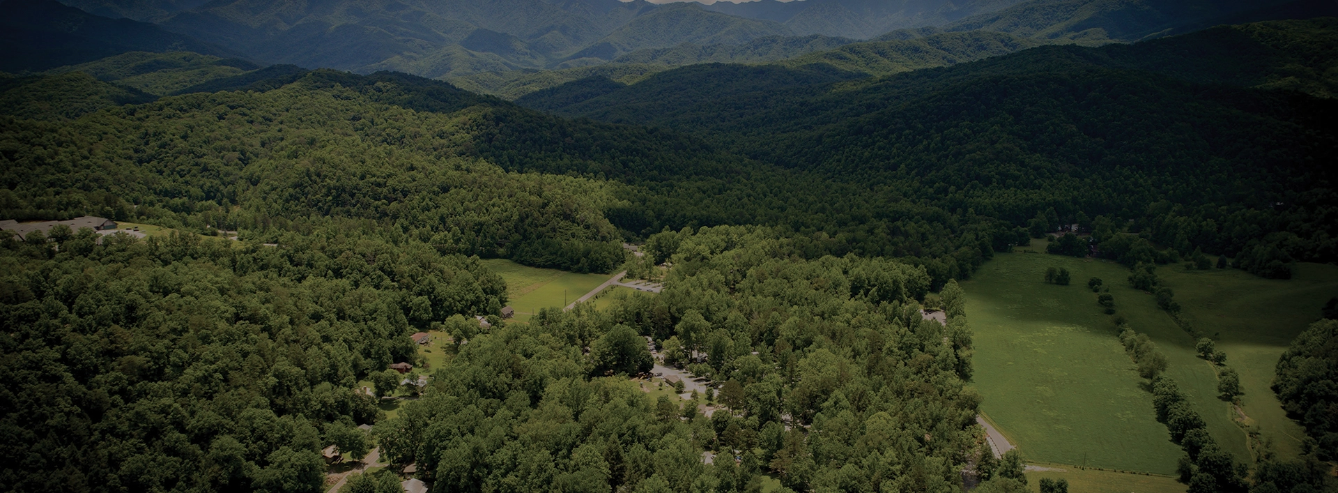
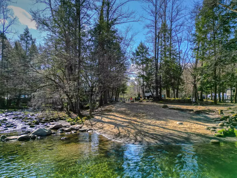
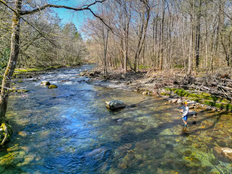
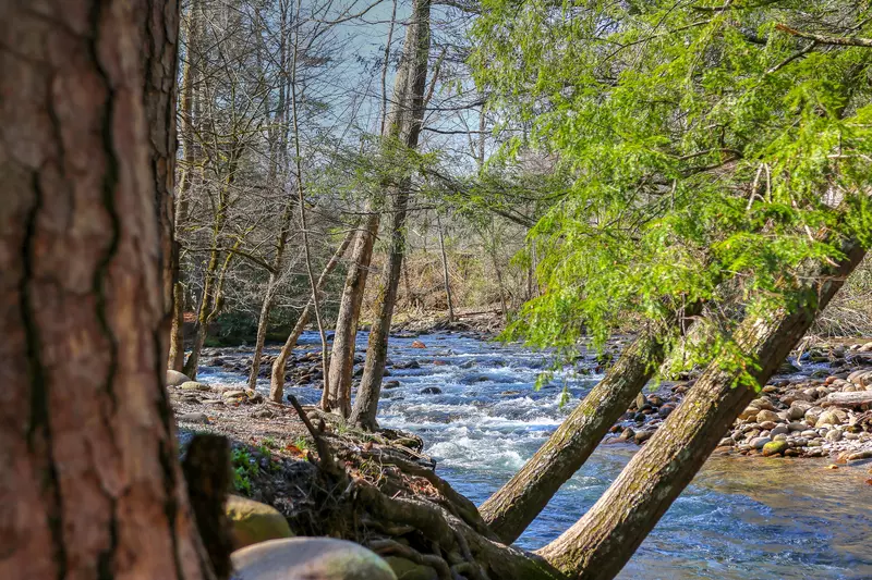
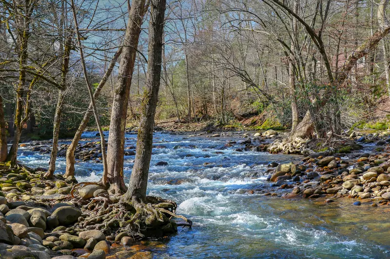
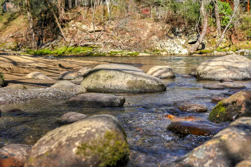
History

I

n the mid 1700’s, Scot- Irish immigrants after making a long and sometimes sorrowful journey, found themselves a reminder of their beloved homeland when they saw the rolling green mountains of Southern Appalachia. Over the course of the next century and a half, the community of Greenbrier was born. Through the valley flowed the pristine waters of the Little Pigeon River, with the head waters forming from many tributaries including the areas of Mt. Guyot, the Pinnacle, Ramsey Cascades and Porters Flats. Over 800 people lived in the general area now accessible by the Greenbrier entrance to the Great Smoky Mountains National Park, less than a half a mile east of the Gatlinburg City limits at Buckhorn. It was a thriving, yet isolated community with churches, schools, several stores, saw mills, a hotel and even a campground at one time. In the early 1920’s discussion began on the creation of the Great Smoky Mountains National Park. Widespread logging in the Appalachia’s, including Greenbrier, was decimating the dense forests. In a historic and controversial move, the park was created and the process of buying the private property and removal of the once again displaced families began.

river in the smoky mountains

The National Park Service made several very unusual concessions in negotiating the purchase of the beloved homes and farms of the mountain people: they would never charge an entrance fee to the Great Smoky Mountains National Park, the family burial areas would be maintained by the NPS, future family members could be buried at their family cemeteries inside the National Park, and clear access to the cemeteries was to be maintained for a yearly decoration day.

barn in the smoky mountains

By 1926-28, most of the families had reluctantly accepted that they must move from their beloved cove. Many went just a mile or so outside the National Park Boundary in Emerts Cove and settled there. They were walking distance back to their old home place and yet could stand at their new home sites and see the familiar Pinnacle mountain range casting long shadows on their now abandoned homes. Just a few yards from the Park Boundary was the property owned by Noah Ogle. It was a beautiful island surrounded by the waters of the Little Pigeon River. The island was used as a gathering place to celebrate the 4th of July and Labor Day with dinner on the grounds and music. It also was used to graze cattle and as a baseball field for the young men. Many old timers will tell you of the “cow patties” used as the bases!

This island is now home to the Greenbrier Campground. The water still flows as pure and cold as it did over 100 years ago and the Little Pigeon River through the Greenbrier Campground is now on the coveted list of “Outstanding Natural Resource Waters” an honor bestowed upon the stream in 1998 by the Tennessee Division of Water Control Board. At the center of the campground and probably the island’s most distinctive feature is the Flint Rock swimming hole. For generations, the old swimming hole has been the destination of both local residents and tourists to the area. In the past, it was used as the baptismal waters for many of the area churches. The large rock has many invisible footprints of the old and young alike climbing up to jump into the icy pool that waits below. At the north end of the Campground property is the rustic Emerts Cove Covered Bridge, a popular destination for photographers and artists.

little boy standing in front of laurel falls

Emerts Cove and Pittman Center are still home to many of the families whose forefathers were displaced from Greenbrier in what many of the local folks called “the scattering”. The sign at the entrance to Pittman Center simply reads “A community dedicated to preserving our mountain heritage”.

One thing remains the same, the inherent love for Greenbrier continues and even those who are visiting for the first time will soon realize it is indeed a very special place.